AUS
AUS USA
USA


.jpg)


Furthlines: Bikepacking in the Wake of a Storm
In the wake of Storm Dennis, three of us explore the roads, gravel tracks and infrastructure lines of Snowdonia N.P.'s Carneddau Mountains. As we ride through dam walls and across spillways up into the snow-sprinkled shadows of two Furth peaks - Carnedd Llewelyn (1065m) and Foel Grach (976m) - we slowly unearth a very humbling story of human influence in the mountains...
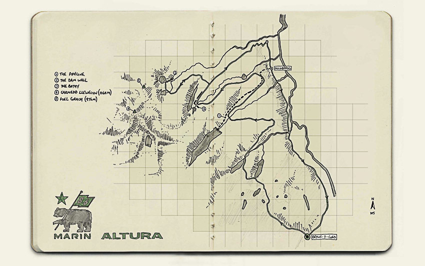
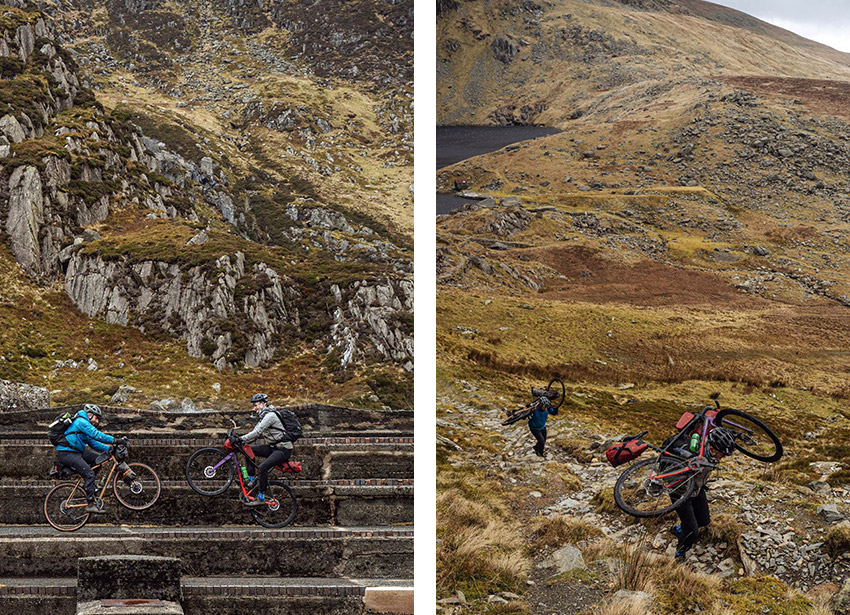
This Snowdonia bikepacking adventure was built around a simple concept: pick an alluring 12 x 12 grid area of an OS 1:50,000 Landranger map and spend 24-hours exploring its 576km² of roads and tracks. This sea of un-crowded Carneddau contours between the honeypot village of Betws-y-Coed and Foel Grach peak appealed given the collection of Furth mountains, forest trails, reservoirs, quarries, service tracks, chevron roads, sparsely-sprinkled buildings, and traces of infrastructure and industry. Little did we know how fascinating, and connected all the mapped features would turn out to be…
The Pipeline
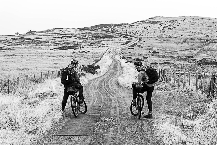
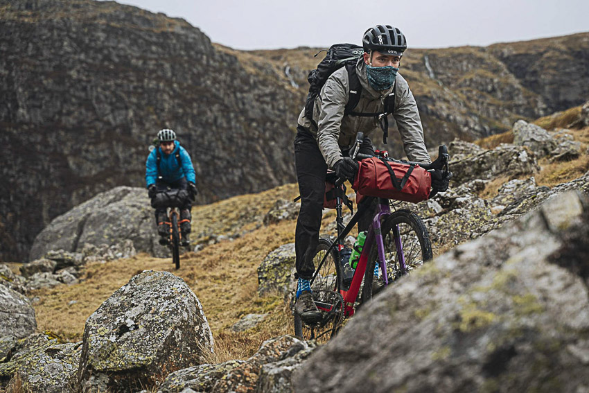
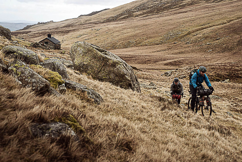
Our riding started straight out of low-lying Betws-y-Coed, through the abundance of Gwydir Forest tracks and trails, and up into the high hills; closing in on the clouds and Furth peaks. This was a much less ridden region of Snowdonia National Park and leaving the modest crowds in our honeypot base behind there wasn’t another soul in sight, once through the forest.
At 70m, Llyn Cowlyd is supposedly the deepest lake in northern Wales and supplies water for the towns of Conwy and surrounding Colwyn Bay via underground pipe. Turns out, our eight-kilometre long pipeline sends water directly down to the power station (and Aluminium works) in Dolgarrog. After ducking underneath it, before the pipe dropped sharply down to Conwy Valley and the three of us rounded into the next valley, we met a couple who walk up the 600-something steps, following the line of the initial construction tramway, on a daily basis with their dog: “nippy out, isn’t it” one of them said, as we pulled extra layers on. “Where are you off to? Just up to Coedty? If you’re up for a real adventure, you should head up to Dulyn. It’s about an hour from here.” It wasn’t, of course. Doubling an estimation is generally a good gravel bikepacking rule.
Next up was the colossal concrete wall…
The Dam Wall
As dusk began to fall, we rode through and along what turned out to be the poignant, powerful remains of the Eigiau Dam Wall. At 1.2 kilometers long and 10.5 metres high, the wall was initially built in 1911 and owned by the Aluminium Corporation. The dam was built by transporting materials up from Dolgarrog by tramline. Seeing it today in a wider valley context, the concrete installation was reminiscent of the remote redundant soviet buildings dotted through the Stan’s mountains. The beauty of restricted internet access in the mountains lies in the mystery, and subsequent detective work. Was it a dam wall? It could’ve only been a dam wall, really. There was no other explanation for it. Had it broken by accident, or been made redundant and left to crumble? The two gaps were intriguing for sure. It wasn’t until we descended the next day to the villages of Tal-y-Bont and Dolgarrog – 8km away and -390m below – on the River Conwy valley floor, that we unearthed the full story…
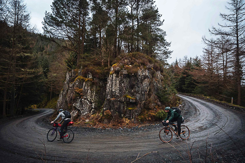
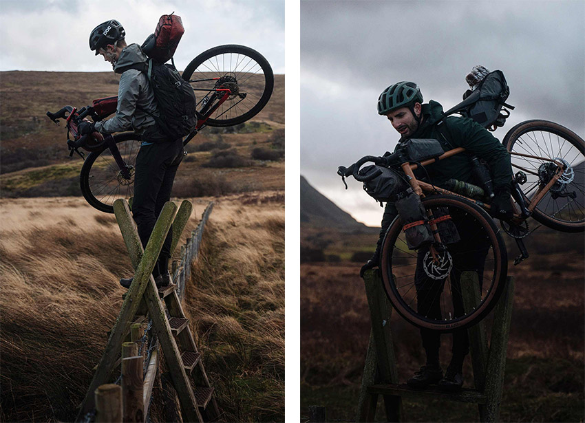
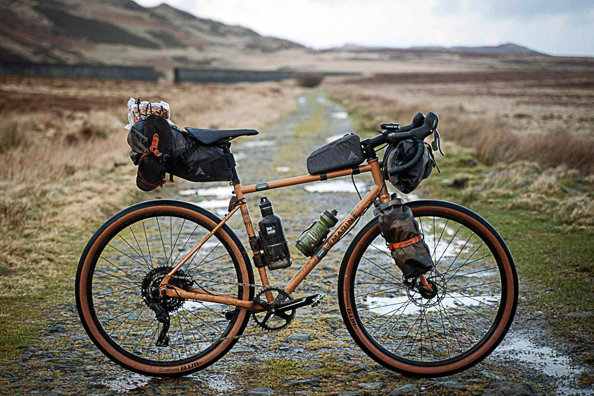
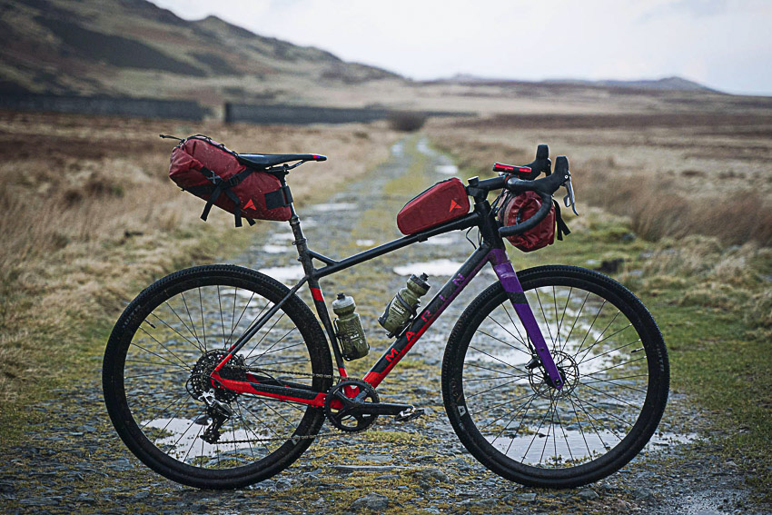
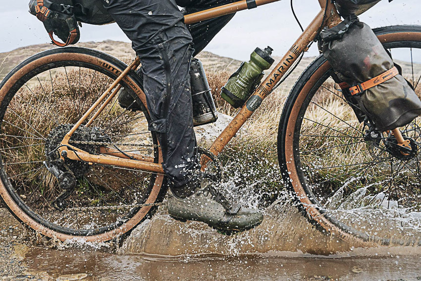
The Bikes
Dave and I were riding adventure bikes from Marin’s ‘Beyond Road’ range – the Nicassio+ and Gestalt X11.
The Disaster
Something hadn’t quite clicked for me after seeing and riding both through and along that colossal concrete wall. Speeding along through the villages of Tal-y-Bont and Dolgarrog, on the banks of the River Conwy and secondary road back to our base at Betws-y-Coed, a memorial caught my right eye through the relentless rain. I stopped and low-and-behold, it was for the Dolgarrog Dam Disaster – that dam wall we had ridden through, holding back all the water of Llyn Eigiau, burst and breached in November 1925 killing 16 folk in the village where we stood. Weak foundations, apparently. The story goes that it would’ve been more, had the majority of the village not been gathered at a film night at the theatre, out-the-way of the fatal surge. Engineers deliberately punctured the second hole in the dam wall to prevent further disaster. That explained it. A sobering story for us to digest on the last section of road riding and over one of the best pizzas I’ve ever had in Wales, at Hangin’ Pizzeria.